Cartographica Neerlandica Background for Ortelius Map No. 185
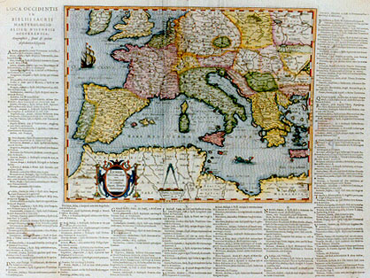
Title: LVMEN | HISTORIARVM | per OCCIDENTEM | ex conatibus | FRAN. HARÆI | "Antuerpiæ" [Enlightenment on the histories in the West from the records of Franciscus Haræus of Antwerp]. (Along left, bottom and right side of the plate, see below, before the text on verso is presented).
Plate size: 270 x 345 mm.
Scale: 1 : 10,000,000.
Identification number: Ort 185 (Koeman/Meurer: 43P, vdKrogtAN: 0302H:32).
Occurrence in Theatrum editions and page number: 1624P/1641Svij (1025 copies printed) (last line second column, full width: liensis, & Tuanensis ab Eugenio III. adiecti sunt.).
Approximate number of copies printed: 1025.
States: 185.1 only.
Cartographic sources: Franciscus Haræus, a geographer from Antwerp who designed a globe in 1617, and who contributed to the atlas Orbis Antiquis made in 1653 by Georg Hornius from Leiden, which contains maps closely copied from Ortelius' "Parergon".
For questions/comments concerning this page, please e-mail info@orteliusmaps.com.